

Forecasters at the Met Office have extended a weather alert for heavy rain until Tuesday this week.
Heavy storm winds battered the region on Sunday, causing damage to cars, garages and even a block of flats which was hit by a falling tree.
Read: Salford storm: 50ft tree hits Salford flats, cars damaged by strong winds
Now public alerts for more strong winds and rain have been extended beyond Monday evening into Tuesday.
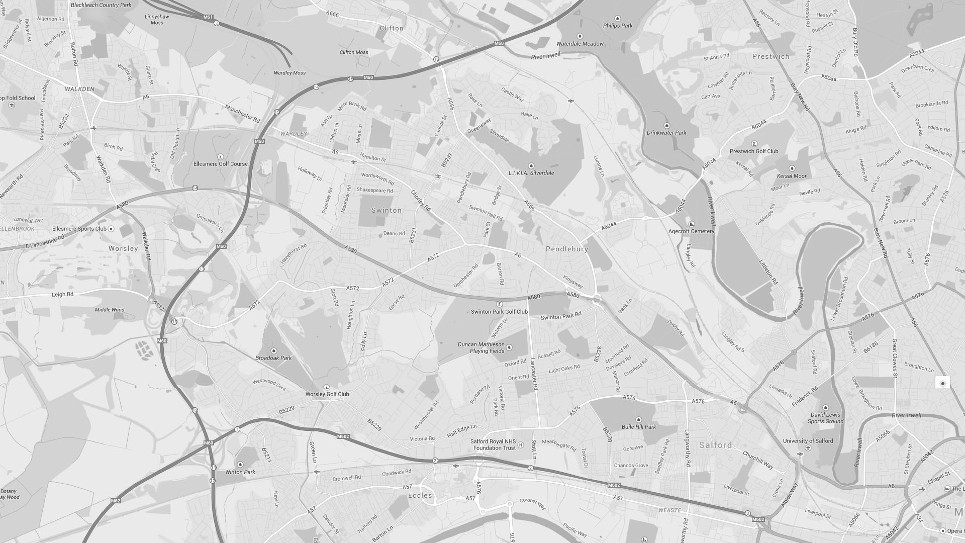
Rising river levels from the impact of Storm Clodagh has forced the Environment Agency to issue a flood warning for parts of Farnworth, Whitefield, Little Lever around the Upper River Irwell basin, but Salford is expected to escape this.
Tuesday should also see the bitter edge dissipate with warmer temperatures of 10°C to 13°C expected.
Locals can expect more bouts of rain early on tomorrow morning accompanied by wind speeds of 16mph.
The rain is expected to cease by 10am on Tuesday morning.
SalfordOnline.com readers have already felt the impact of storm damage with one man reporting his car was crushed by a falling tree in Salford.

The Met Office has warned that drivers should “be aware of the risk of localised disruption to travel”.
Their Chief Forecaster said: “Although wind strengths will probably be slightly less than Sunday’s system there is still the possibility of some localised low level impacts.
“Rainfall accumulations of 40 to 50 mm are likely over many parts through this period, with peak rainfall totals as much as 80-100 mm possible.”
Surface spray on the motorway network could cause delays for drivers and parts of Salford could see localised flooding where the ground is already saturated.


