

Volunteers and resident are preparing for another bout of disruption as more heavy rain is predicted to hit waterlogged ground this week.
The Met Office has issued a yellow weather alert for rain from Wednesday morning.
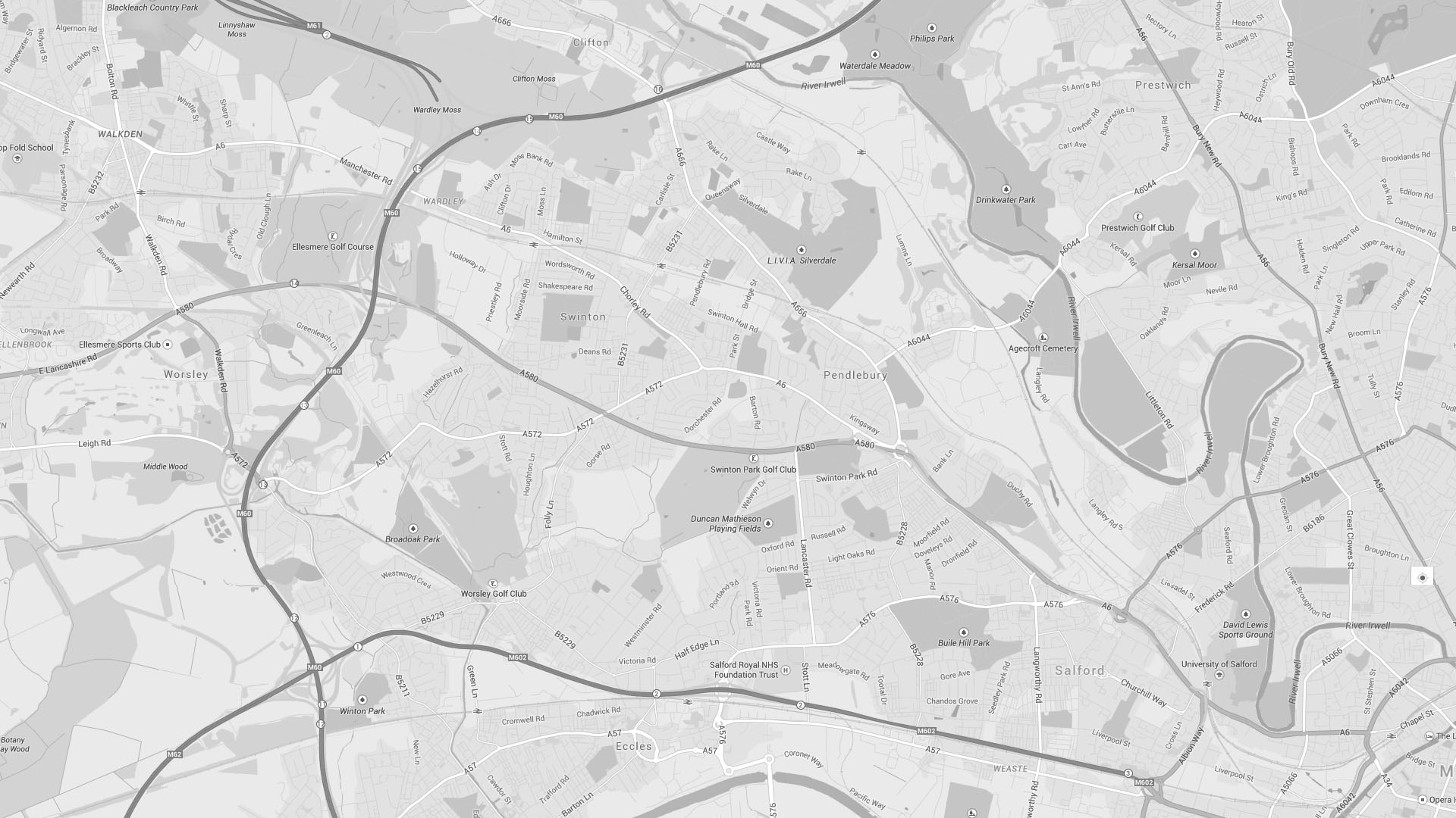
At-risk areas are again expected to be low-lying streets around the River Irwell in central Salford.
Water levels have settled down after the devastation of Boxing Day’s floods but additional rainfall on already saturated ground is a cause for concern.
The Met Office says up to 40mm will hit large areas of the north of the country, but localised impacts are still being mapped as the front moves east.
Of the 16 flood warnings and alerts for the North West Salford is not listed, but a three-day Environment Agency forecast puts Greater Manchester at yellow alert – the lowest level of risk.
“Impacts in Greater Manchester and Lancashire may include flooding of whole communities and significant travel disruption,” they say.
The weather system – dubbed ‘Storm Frank’ is expected to whip up strong winds from Tuesday evening with possible gales in coastal areas, and Cumbria expected to be hardest hit with up to 140mm of rain.
Volunteers from groups across the city are working hard to aid clean-up operations, and offers of help and donations are still piling up at St Boniface Club in Salford.
Their Facebook groupFacebook group is co-ordinating community volunteer and donation efforts in Lower Broughton.
A GoFundMe page for the Salford Flood Recovery has passed its £1,000 target with appeal to keep sharing with more rain on the way.
Main image by Andy Pratt


