

Fears that Boxing Day’s devastating flooding will return in Salford were raised this morning after the Environment Agency issued flood alerts.
Steady rain over the past two days swelled the River Irwell to high levels.
The Environment Agency’s emergency Floodline started to call residents in low-lying areas, including Lower Broughton and Salford.
Pictures on Twitter this morning show the state of the river as it flows through Manchester city centre, near the Lowry Hotel at Dearman’s Place and close to the Mark Addy pub, which itself was devastated in last year’s floods.

River Irwell levels high this morning – @BridgetAherne
A flooding alert has been issued for the Lower River Irwell catchment area, which includes areas of Greater Manchester including Salford.

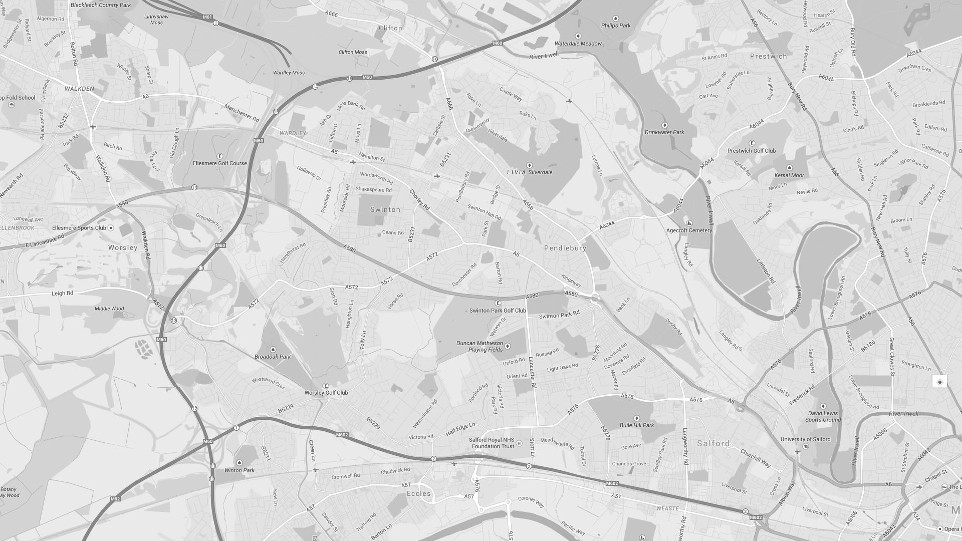
Amy Smyth – River levels at Littleton Road this morning
Salford’s three monitoring stations on the River Irwell, operated by the Environment Agency, are all showing elevated river levels this morning, Monday 22 August.
But levels are nowhere near that of December 2015.
“People are panicking and checking the river levels,” said Janette Burke, who lives on Heath Avenue in Lower Broughton and was flooded on Boxing Day 2015.
“I’ve just driven past Trinity, [the river] is high but it’s been like that before, and we haven’t had warnings when it was like that.
“The water hasn’t come over, that much I know.
“I think they’re being extra cautious.”
Spike Island and Riverside in Lower Broughton were some of the worst-hit areas on 26 December 2015.
Nearly 500 homes were flooded causing untold damage when the River Irwell levels spiked at 4.8 metres and burst its banks.
Live: The Environment Agency’s latest flood warning information levels
Each of the monitoring stations note that “the latest information recorded at this location indicates the river is above its typical range”.
This does not mean that the river will flood but it does mean residents in low-lying areas around the river should take extra precautions.
The top black lines show the highest ever recorded levels – from 26 December 2015 when the Irwell burst its banks.
Adelphi Weir, at Lower Broughton, is showing levels at over 1.8 metres.
Normally levels at Adelphi Weir fluctuate between 0.18 metres to 0.74 metres.
Adelphi Weir – levels at 1.81m – Recorded at 9:30am Monday 22 August 2016

Manchester Racecourse, further along the River Irwell towards The Racecourse Hotel on Littleton Road, is showing as ‘flooding possible’.
Levels which started at around 3 metres at 9am had increased to 3.19m 15 minutes later.
The River Irwell at Manchester Racecourse – levels at 3.19m – Recorded at 9.15am on Monday 22 August

Further to the west of the city a monitoring station at Worsley Brook at Chestnut Road is showing higher than normal levels:
“Flooding is possible. The latest information recorded at this location indicates the river is above its typical range of 0.07 metres to 0.23 metres.”
Live: The Environment Agency’s latest flood warning information levels
Worsley Brook at Chestnut Road – levels at 0.5m – Recorded at 9:15am Monday 22 August 2016

At 9.11am the Environment Agency issued a flood alert for the Lower River Irwell catchment area, saying: “Low-lying land and roads will be affected first.”
“Be prepared to protect yourself, family, pets and property.”
Councillor Jim King told SalfordOnline.com this morning: “When people see these warnings they can start to panic.
“What I would say is just to keep an eye on the warnings and the water levels and to follow the advice by the Environment Agency.
Read: Concern over delays into Boxing Day flood report
“The Agency’s flood report needs to be published quickly and any learning from that put in place before the winter.”
Live: The Environment Agency’s latest flood warning information levels
Main image: By Amy Smyth


